
Farsley Springbank Primary School
Year 1 Geography fieldwork
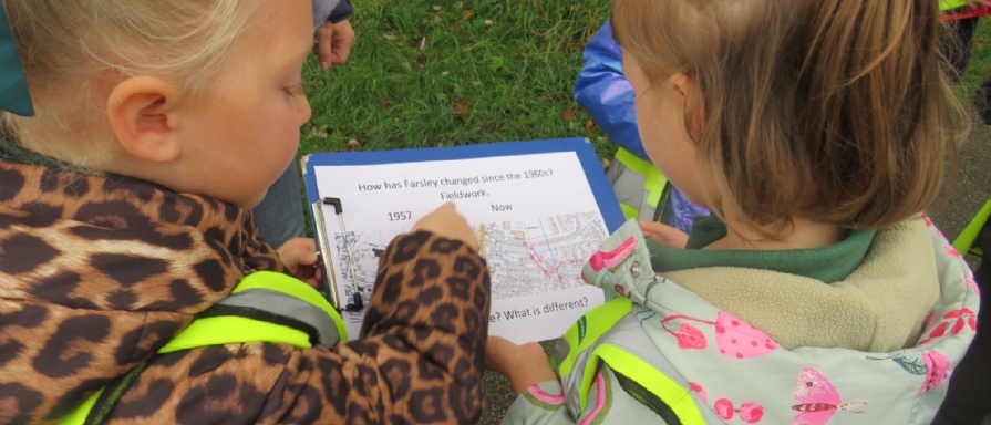
Year 1 went on a short, local walk around Farsley to conduct some geography fieldwork observations. Earlier in the week, we looked at maps dating back to 1957 when a particular area of Farsley (some of the Springbanks and New Parks) were still fields and allotments. We compared the map to a more modern one, which now shows houses and roads. The children were fascinated by the changes and were so excited to go out and use their map. We learnt that since the 1960’s, Farsley has lots more houses, roads and people but fewer fields and green spaces. We also spoke about the differences in the types of shops and businesses that would’ve been on Farsley Town Street during that time.